Neighborhood Photoblogging
It was too nice outside to spend the day painting, so I went for a drive.
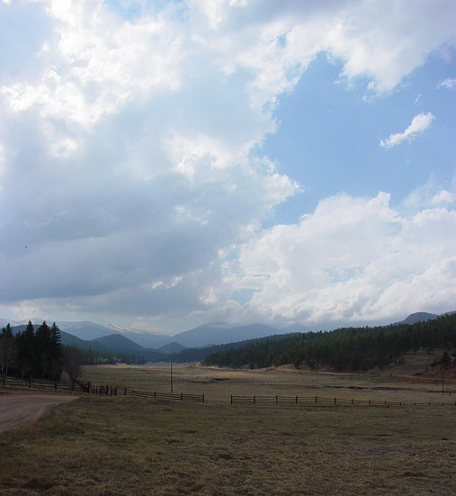
An area called "Hidden Valley Ranch" south of Mt. Evans (part of which is visible in the distance).
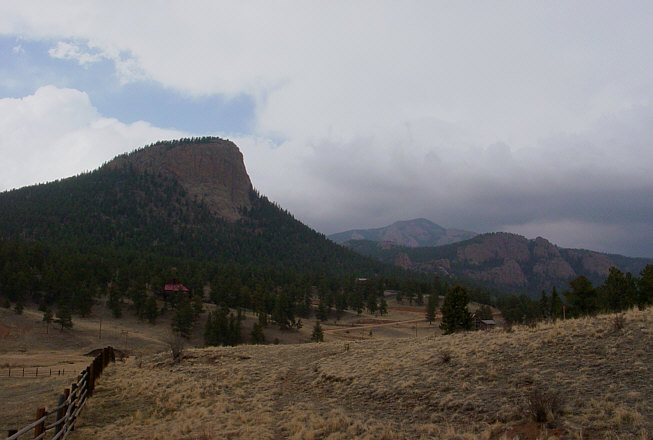
A feature down the road which is apparently called "Lion's Head". From further up the road, it looks like a half-size version of Devil's Tower.
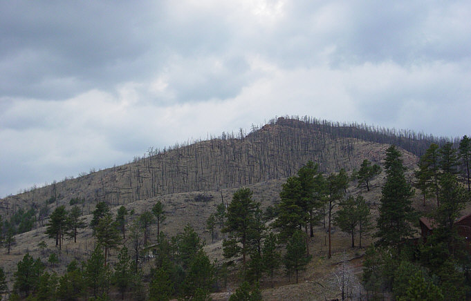
Of course, the price we pay for living in such picturesque surroundings is the risk of fire. This is either part of the area burned by the 2000 High Meadows Fire or the northern extent of the 2002 Hayman Fire.
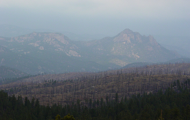
Damage from the 2002 Hayman Fire, seen through a haze reminiscent of New Orleans in summer. Along the road in this area, the county has put up 'Barbasol' signs, reminding visitors via rhyme that all this damage to a forest they admire was the result of a single fire. (No mention of poor forest management practices or heartbreak-induced arson...but I imagine that kind of thing is difficult to fit onto little signposts.)
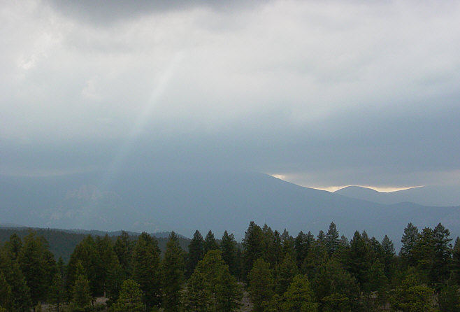
A storm was moving in, providing some interesting light details. Unfortunately, I hadn't really planned to go driving around taking pictures, and left all my camera filters at home -- this does poor justice to the real view.
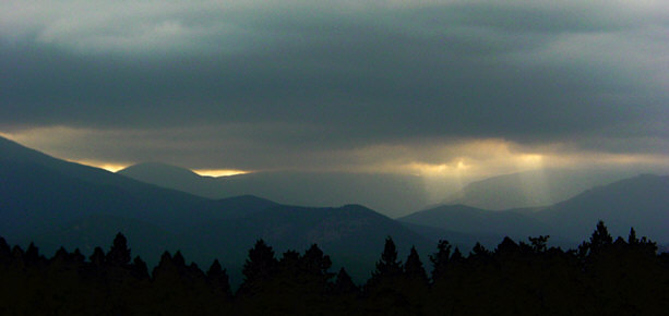
This image does a better job of capturing the shafts of light, thanks to some heavy tweaking of the gammas.
The storm that was moving in produced the usual "thundersleet", which looks a bit like this image from two weeks ago:
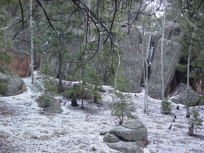
(Click on the image and you'll actually see the falling sleet. The sleet on the ground accumulated in about three minutes, the time it took me to notice it and grab my camera. This is what I get in lieu of thunderstorms, thanks to the altitude and topography.)
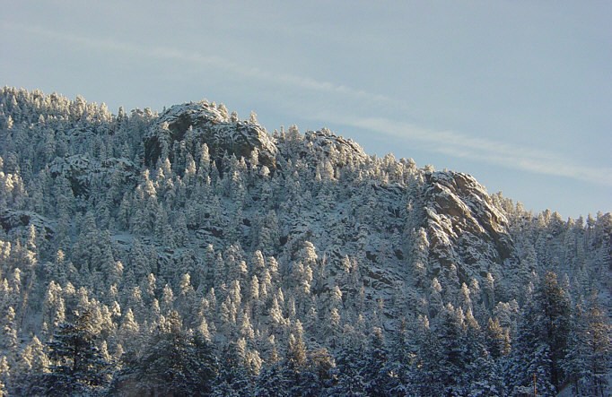
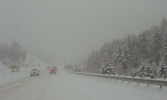
And to think that just three weeks ago, downtown Conifer looked like this:
...and I was commuting in this:
 Posted by T.L. James on April 23, 2006 07:01 PM
![[Mars Blog]](/images/masthead.gif)